


GeoViewer from Extensis app for iPhone and iPad
Developer: LizardTech
First release : 17 Jan 2012
App size: 31.52 Mb
The makers of MrSID bring you the fastest way to view MrSID imagery on the go. View raster, vector, and WMS imagery easily and take advantage of measurement tools, online base maps, and more.
Here are just some of the features of the best geospatial viewer for iPhone, iPad, and iPod Touch:
• View MrSID and JPEG 2000 imagery.
• View vector imagery in the Esri Shapefile and KML formats.
• Connect to Dropbox to view your saved imagery.
• View online base maps.
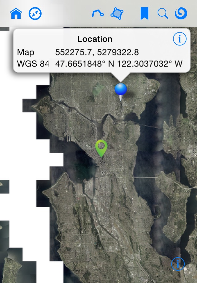
• Save favorite locations as bookmarks.
• Change the opacity of layers to compare overlapping images.
• Select the image bands that you want to view for multispectral images.
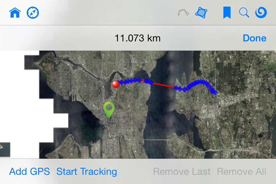
• Measure distances.
Additionally, here are some of the exciting features available via a single in-app purchase:
• Display WMS imagery.
• Measure areas.
• Search for locations using addressing information.
• Change the maps projection to additional supported projections.
• Track your current location on the map.
Continued use of GPS running in the background can dramatically decrease battery life.
LizardTech is now Extensis.